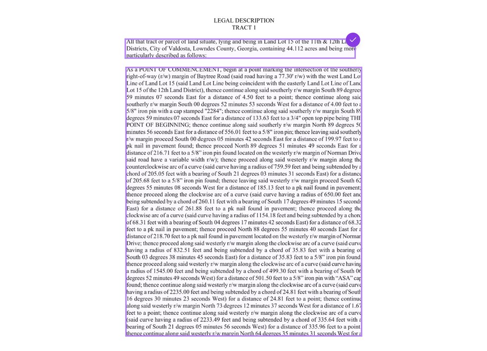
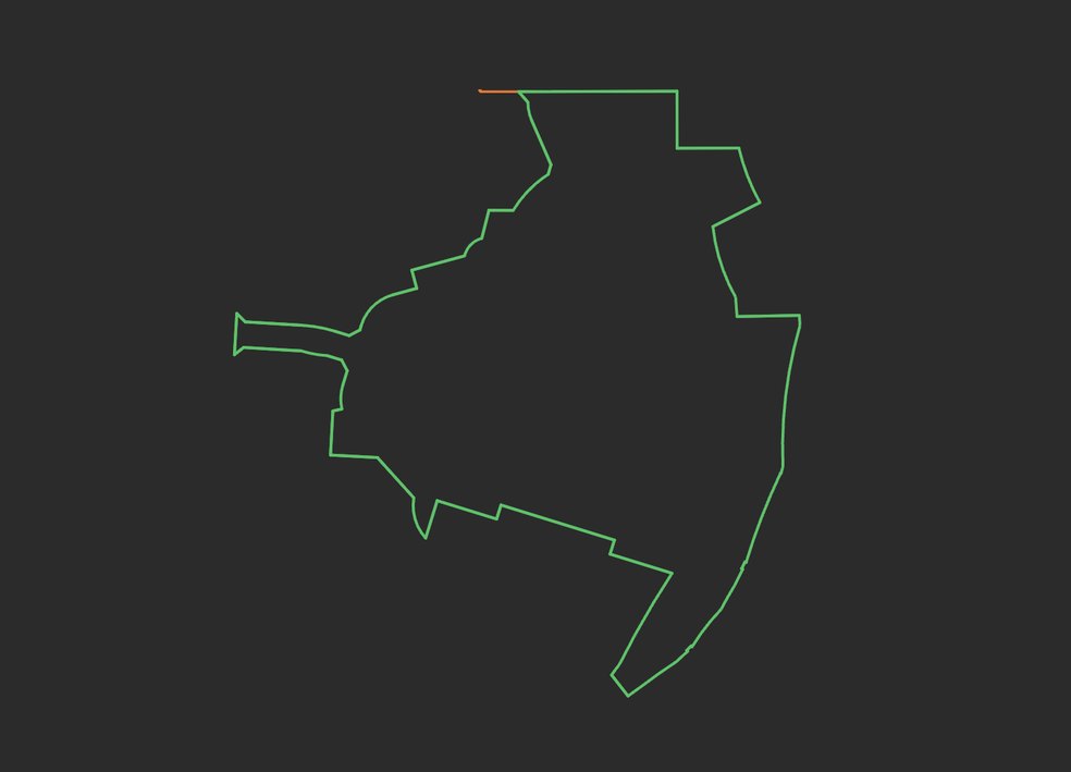
Metes and bounds
Drawn call by call, closure-checked.
Deeds, easements, right-of-way descriptions, exhibits and title commitments. Click any line to see where it came from.
Drop in the whole record. LineWork marks every reference, draws every description and plat in model space, georeferences what it can, and gets it to CAD and the field crew. When the crew is back, it helps you reconcile what they found.
Free for 7 days: unlimited deed plotting and 10 pages of plat redraws. Rather we run one first? .
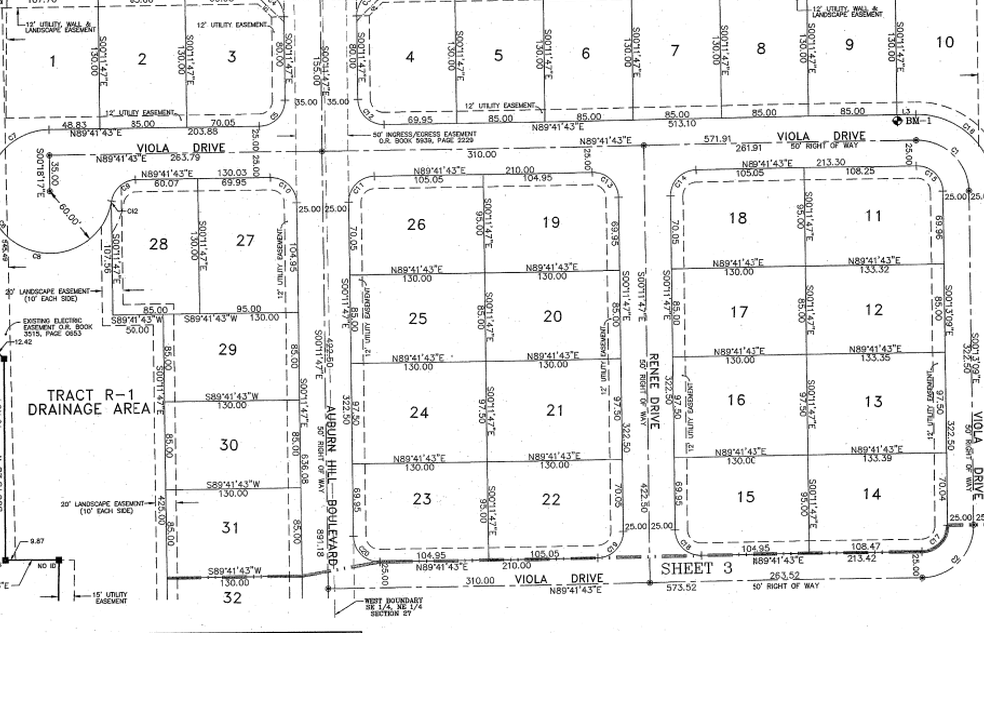
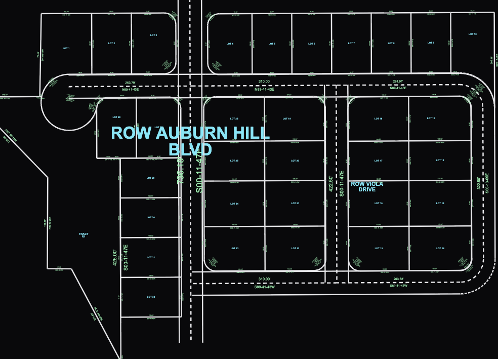 LineWork redraw
It finds four kinds of thing in a package and links each one to the page it came from, so you can always see the source.
Every call, with the monuments, ties and annotations the description names.
Quarter-quarter calls and government lots, placed with public section data.
Printed or handwritten sheets, drawn from their own bearings, distances and curves. No traced image.
The documents a record points to, marked so the next one is easy to pull.
Any file: PDF, .doc, .tiff, .jpeg. One file or a whole folder, up to a 200-page title package. Scans and cursive work too.
Each station works from what the last one made. Nothing is retyped between them.
Drop in the package. Every description and plat is found and marked.
Every call drawn as geometry you can check, line by line.
Puzzle the parcels into place with the context around them.
Export what you drew, the way your office draws it.
Upload the crew’s points and start reconciling the evidence against the record.
Two real outputs, linked back to the lines they came from.
Deeds, easements, right-of-way descriptions, exhibits and title commitments. Click any line to see where it came from.
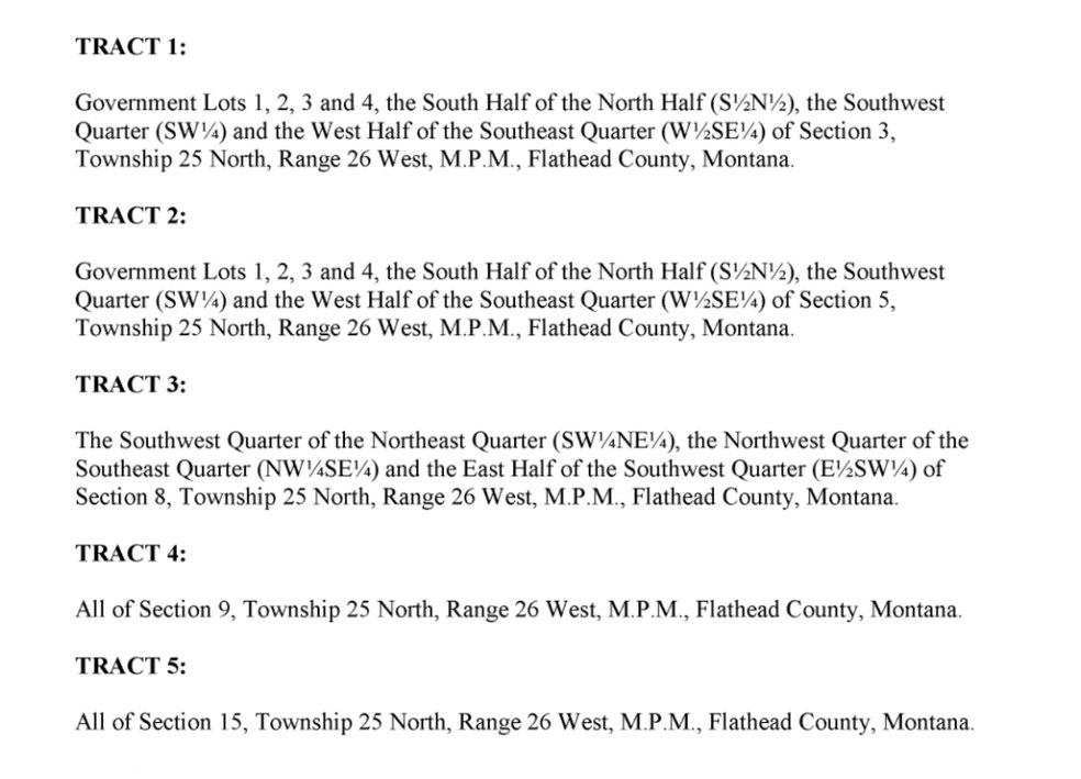
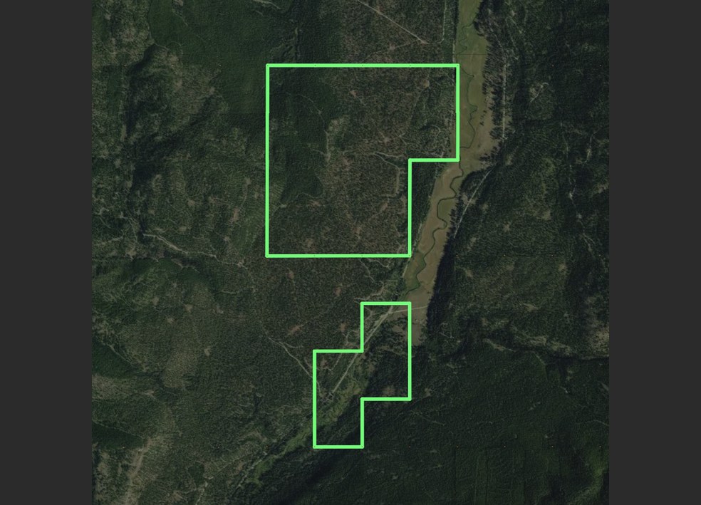
Township, range, section and quarter-quarter calls, with the aliquot math done, georeferenced with BLM public data.
Any number of accounts can sign in on a device. Using QA/QC too? Complete saves up to 30%.
or $1,125 a year (3 months free)
First month 25% off · or start a 7-day free trial
Plats are priced by size. Most cost $10–60. A 2-lot plat costs less than a 60-lot subdivision.
Your monthly amount comes first. Each device adds $50 a month to one pool for the firm. It resets on the first day of each billing cycle, and what you do not use does not roll over.
Start free, pay to export. It is free to start a redraw. You pay only when you export it.
7 days free: unlimited deed plotting and 10 pages of plat redraws.
“Greatly fast tracks prepping files for field work, and speeds up title commitment reviews”
“We love the tool. It’s saved us tremendous time.”
Rather we run it first? and get editable CAD back within one business day.